
Date & time: 2023-08-10 06:58:38 (UTC)
Local time at epicenter: Thursday, Aug 10, 2023 at 3:58 pm
Latitude/ Longitude: 5.641°S 133.841°E
Epicenter: Arafura Sea
Magnitude: 5.1
Depth: 10.0 km

Waveform
Listen to the waveform as audio:
ShakeMap
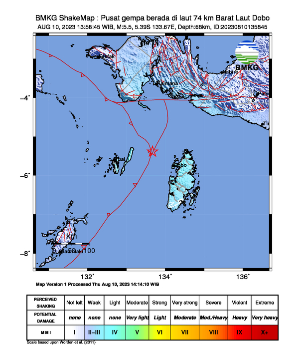
Nearby towns/cities
- 120.6 km (74.9 mi) E of Tual, Maluku, Indonesia
- 313.7 km (194.9 mi) SW of Nabire, Central Papua, Indonesia
- 347.5 km (215.9 mi) SSE of Fakfak, Papua, Indonesia
- 394.6 km (245.2 mi) S of Bintuni, West Papua, Indonesia
- 461.4 km (286.7 mi) S of Ransiki, West Papua, Indonesia
MMI (Modified Mercalli Intensity) Scale:
- II - III Dobo
Find us on
- Instagram: earth4444_
- Tiktok: @earth.44_
- Telegram: earthquake44
- Youtube: @earth44